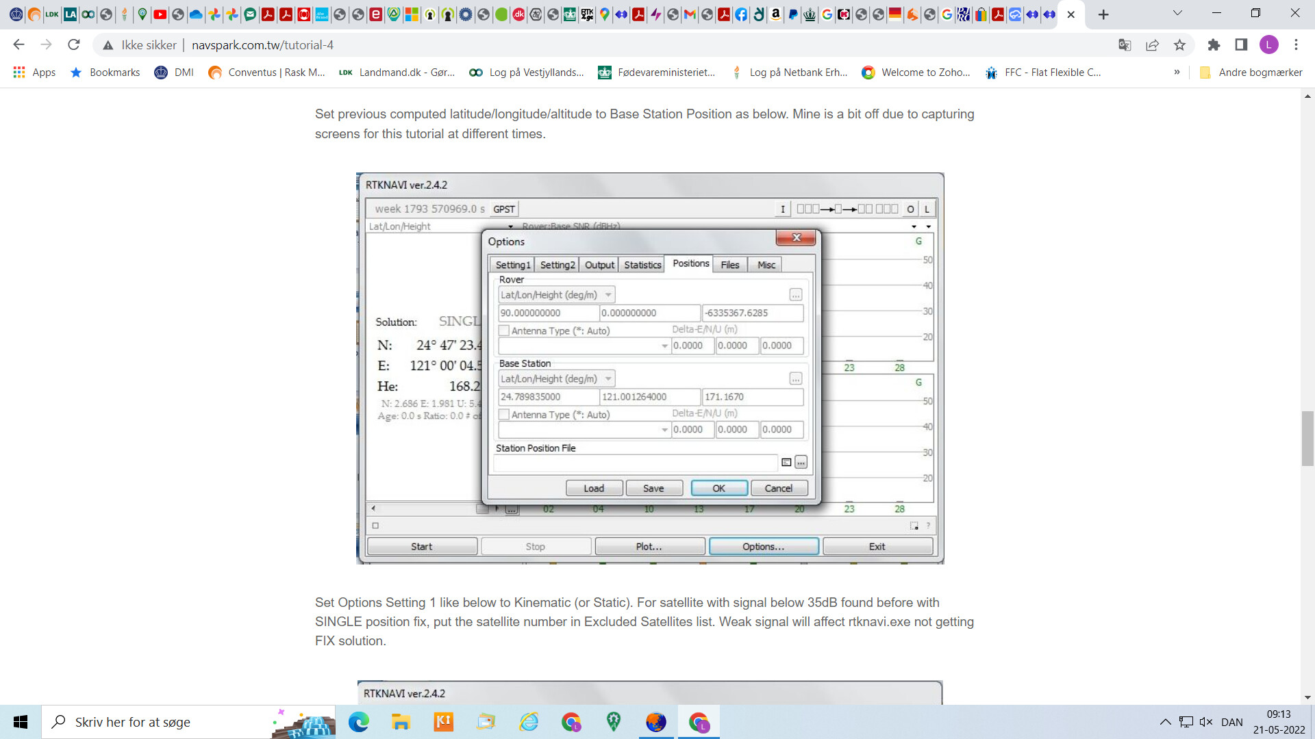
As I mentioned earlier I started with Static mode, and had to type in the correct version of coordinates.
I seem to be degree that is the right type.
This is just to get a hint of how, as I did not find a tutorial for Gnss viewer.
I did the conversion to degree (online) but then at first, got lost in the komma and dot issue.
Maybe you can just use the degree from Rtk2go ?
Right now I just tried typing in the new degree from rtk2go and the map show 10 m off
When I click map it in rtk2go the map places it about 10 meters from where it really is.
Almost same distance as is the scatter view (which say 5 m east and 10 m north) Which show up only when I set to survey in for 60 sec and 30 in deviation AND with Zeroes in the 3 fields in position under static mode.
Which I think, actually means I have set static coordinates a little off.
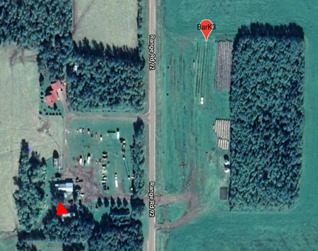
When I click your BarK3 it is between some buildings in the top of a tree
Note: in the tutorial (at the bottom) it say the TCXO is temperature sensitive, maybe that is the whole problem (your base or rover get direct sunlight later on the day?
My base is in the office so stable temperature!
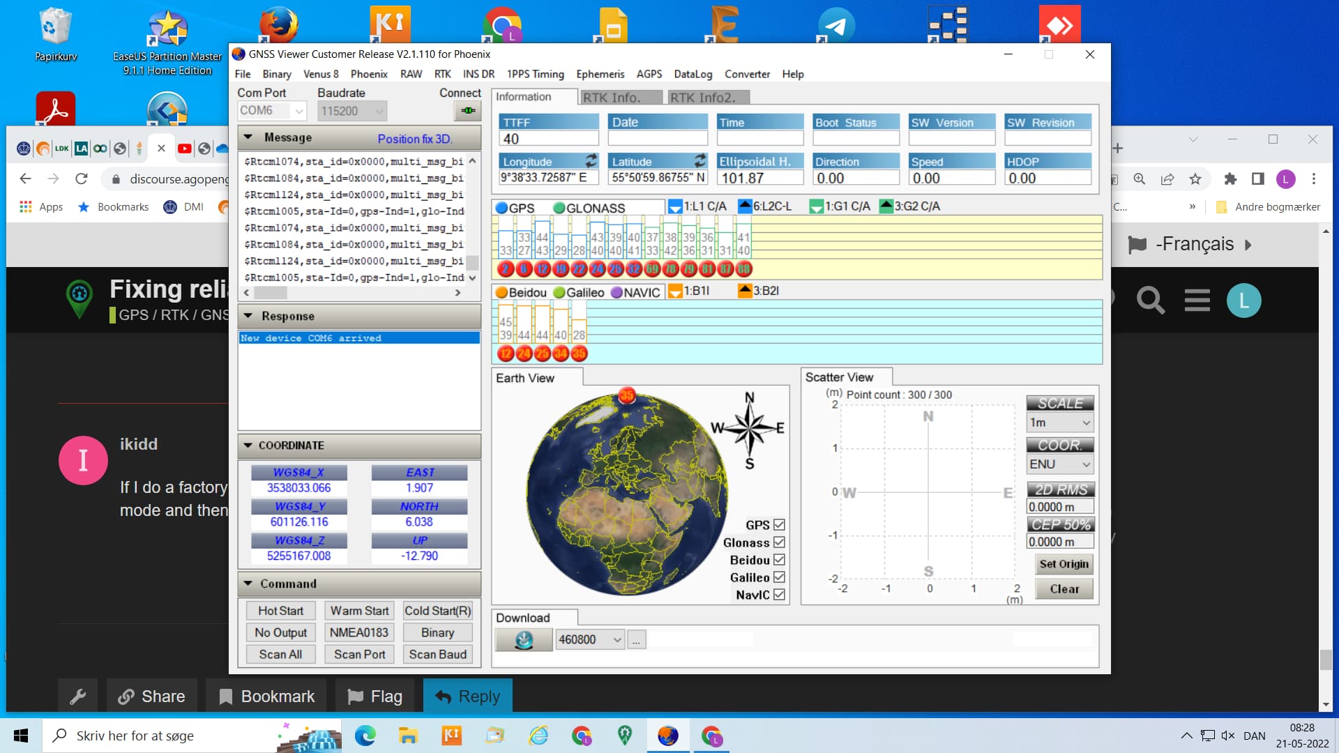
On the GNSS Viewer, if you hit the arrow circle above the coordinates, it changes formats. Pulling the dec coordinates that way is pretty easy then
I’m not sure how you’re getting the correct location when you go look (which is what you seem to be describing, the arrow in above pic), this is what I get when I go to NTRIP Caster Table and click Map beside BarK3.
I might have kept some static coordinates in the box that it’s decided to use in the map view for whatever reason. I’d have thought rtk2go would use the coordinates it sends, but maybe the only thing rtk2go gets is the RTCM data and there’s no realtime coordinates sent with it, or they don’t use them. I guess that would make sense, as a privacy thing?
And no, the radio shack is generally cold, no direct sun on the module, though the antenna would get some.
I will check what mine show if I go same way as you.
I can’t do so before tomorrow.
I click on (map it) which I find when I have chosen my basestation in the caster table.
Edit: RGM give us the explanation in next post
And my base is 300 m off when i click on same map as you did first, so it look like they ar much alike.
But I must ask: are your antenna placed , so it has full open sky view ? @ikidd
When you you the map viewer from your link it uses the caster table coordinates which are only to 2 decimal places so not very accurate. Two decimal places give 1.1km accuracy. If you want to view the coordinates you get in rtcm data from a base station use snip and set up a relay stream then hold mouse over the stream name and it will show you or use the map view in the snip program.
Nothing really new outside of our troubleshooting steps, but I thought I’d update the thread in case the next person comes along and wants to see where this went.
There was a pointer from the Navspark engineer about how to set the constellations for the Rover, in a section of GNSS Viewer that I haven’t messed around in.
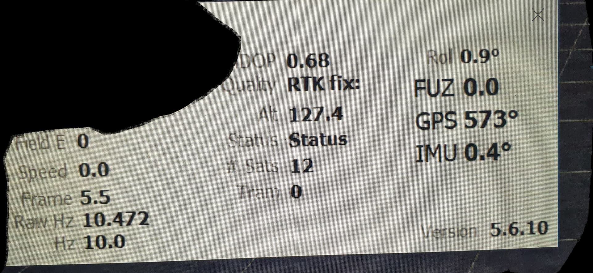
Update: received SimpleRTK2b’s and replaced 1122Rs at base and rover. Still drops to Float often, but the F9Ps seem to handle it very well. I only get 12 sats on the F9Ps using Aortners config files, and haven’t played around with that config yet to see if I can improve that (as I think he only has Glonass/GPS enabled?) but it works fine.
Now I have some weird issues with the autosteer board in v5.5 I detail in another thread, but as a solution, yah, should have gone with the F9P from the start and saved myself some headache.
How many sats are you getting with that config? Because I spend about 25% of the time in Float. I tried logging the NMEA data but it doesn’t indicate the Fix type in a way I can see in the file it makes, so I can’t be sure what the float/fix ratio is.
GGA does indicate fix type. It’s a numeric field. Can’t remember the details but it does differentiate between fix and float. Also GGA indicated the hdop.