Does anyone know of a way to add flag using gps coordinates?
I had a problem with one of my field files, and it forced me to create a new field. I am reusing the KML file for the field. When I move the flag file from the old field folder, to the new field folder, it drops the flags at the start point of the field, and not where they are supposed to be.
I know this has something to do with the northing/easting, but I just can’t figure it out. I’m just trying to save going out in to the muddy field to remark the flags.
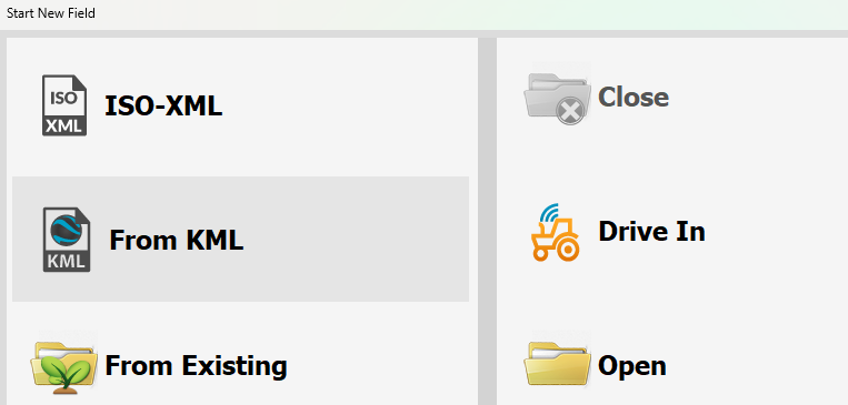
Which branch? I’ve been looking at the ISOXML branch, which seems to be the most active. Where is it in there?
Seems to me it would be work well to have SaveOpen.Designer.cs simply ignore the northing and easting fields in the Flags.txt and then run pn.ConvertWGS84ToLocal() to calculate the northing and easting after loading from the Lat and Lon, which is already in Flags.txt. Most commercial units do this sort of thing, even for AB lines.
If that were done, it would make it easier to drop flags, lines, and even boundaries into different fields.
Can convert the flag lat and lon coordinates with the following formula, from CNMEA.cs:
So was the ISOXML branch merged into the oneline branch?
Torriem and I are both working on the Qt branch, is why we’re both interested in where AOG is headed.
I think a line to mark a ditch or terrace or something. Maybe modify a boundary so it didn’t “close” itself. Would be nice for marking a ditch, so I didn’t go blundering into it in the dark.
I think our old John Deere had the options for a “line” or “grid” in the flags menu.
There is the internal boundary built in. After you draw the boundary. You can draw interior boundaries. But I do think there may be a need for a drive to function on the flags.
Would you want to drive these markers or import then from a kml or xml.
Just a set of additional graphics on the screen? These are not typically drivable. The inner boundaries are drivable and detectable with autosteer.
I think this will work. I have not tried it and not at my computer. Open a field that has a boundary. Then go back to the boundary creator and click bing. Then you can draw the inner obstacles on the screen right on the map. Only thing is they must be completely closed or the calculations will not work. A line will try to close itself and make a mess.
seems like this got hijacked a bit… is there a way to add a flag based on gps coordinates? I don’t really know what the oneline branch is. I’m just a dumb end user, not a programmer, sorry.