Well it could be different background maps.
But my “map it” in rtk2go is spot on, maybe 2 m off, using both satellite view and road view (rtk2go seem to use google maps).
I did the precise point positioning using the Canadian homepage: https://webapp.csrs-scrs.nrcan-rncan.gc.ca/geod/tools-outils/ppp.php?locale=en.
I remember some years ago my base was some 100 meters off, but I think it was because I used comma, and not dot. in the decimal input of static position.
How many decimals do you have after the . mine have 9 when I click map it. (would look like 41.123456789,7.123456789)
Rtk2go only show 8 decimals just below where you click “map it”
Also make sure you used the correct type of position where you type in the static position.
Fixed mode: (not static) Configuring the base manually - RTK F9P Positioning Solutions
8 decimals and . are used in BaseGNSS.
I also didd the PPP on the Canadian site. I did not wait 15 days as stated in the guide, when outside France. Could not figure out why that would matter.
Where do you find “map it”?
BTW, I tested in field today, and it seemd to work perfect.
When going that way mine is 130 m too far to west.
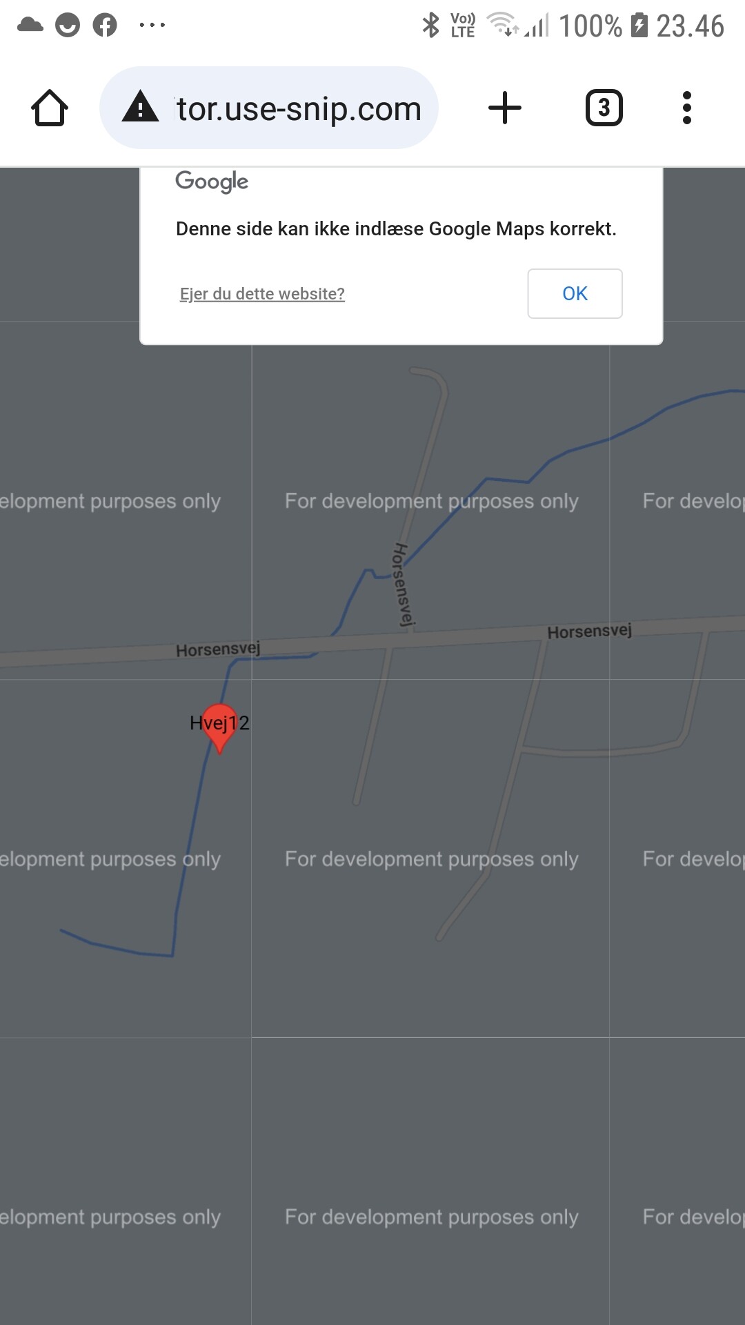
But my phone also tell me that it could not load Google maps correctly. Also the whole map have written all over it "for development purposes only "
I just went through this as well. Never heard of the map it thing before now. Still about a meter off as well. I only surveyed in for 2 minutes and 1 meter accuracy though.