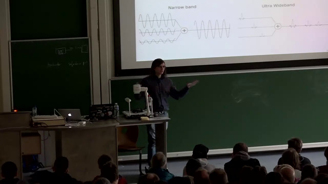
I’d like to use agopengps on a robot tractor project. Has anyone used local transmitters rather than satellites to get better accuracy? Thanks
If you receive NMEA sentences from the LPS it should be ok. Otherwise i am sure you have to adopt a lot ![]()
What LPS system do you have? If it can generate some kind of coordinate system, it would be possible to convert it to latitude and longitude and AOG would work just fine with it.
This thread actually boggled my mind.
I was thinking what it would take to convert a very flat coordinate system to LLH. I think the trick would be to find the appropriate scale factor for altitude and is probably in a small flatter location locally doable. This is where my mind started racing.
So if you stand on one LLH coordinate, the LL is the same in outer space or deep in the ground. Since you are measuring a fixed point on an arc, if you want to measure to a second point exactly 10m away the second LLH coordinates would change as you increased or decreased altitude. This would give you a dynamic scale factor depending on altitude.
Even though I think the effect would be very very small, are there straightness gains to be had by compensating for altitude changes in Autosteer? or does this already take place?
Edit** This must be why newer Trimbles use ECEF coordinates?
I think it could be a lot simpler than that. Suppose the LFS resolves to a 3d grid inside a space, relative to some point. Say the room is 10 metres x 10 metres. One method to generate pseudo latitude and longitude is simply to scale the roome coordinates to something reasonable to make sure the final latitude and longitude has enough precision for AOG to actually work. Then we designate one spot as a particular latitude and longitude. Treat the LFS coordinates space as a UTM grid, and then just convert that to lat/lon. Z can just be ignored, or converted to some kind of arbitrary, scaled elevation. Turns out elevation doesn’t change UTM at all, and in practice doesn’t distort the grid by all that much. Speed would scale as well, as would all your AOG settings like wheel base.
Ultra high frequency transmitters and pico second tolerance timing is ridiculously expensive. If money is not a concern at all, yes.
After consulting some surveyors the error due to scale factor for flat ground is about 10mm/100m, and varies depending on altitude. So using LLH coordinates in wgs84 to drive a straight line on the globe of 2km length will net you an error of roughly 20cm from true square, 0.01% error. The effect would be much larger in hilly terrain.
Since the current guidance system would interpret the error in the same way each pass the rows still will be parallel if not compensated for, but not truly square if measured from above.
Since AOG is already ridiculously straight visually, it would be a fun math project but a ton of work to gain 0.01% added straightness compensating for scale factor. So cool but most likely not really worth it.
Thanks for the replies - not so straight forward then…
What do Topcon use for their dozer LPS system?
No idea. But Topcon’s literature says it can seamlessly switch between GPS and the LPS (laser-based maybe) system. There are many ways they could be doing it, since they made the whole software and hardware stack.

