That’s exactly what I’m talking.
Here in Britain we have the Ordinance Survey who run over 100 managed base stations on the OS Net network. These are all open for public use on the government open licence, so effectively available to all, the nearest one to me being all of 10 miles away as the crow flies. This can be used to provide RINEX, but it’s not clear whether it can be used as an RTK station. Probably can, but probably a subscription service. I’ll check later.
If these stations broadcast RTK corrections, then wouldn’t that render the satellite approach redundant for national RTK?
I don’t understand how your base is drifting.
The numbers comming out from base is drifting, exactly as much as the satellites above.
But you tell the base a static location, so the drift above the base is sent to the rover so it can compensate the same drift, making rover believe satellites are not drifting.
If you have your base set to for example, 3 minutes surveying in at 1 meter, then base will make a new position every time you restart the base, are you referring to that as the drift?
Any static location for base (within some meters) will give rtk ± 1cm , from year to year, as long as you don’t change location of antenna or static location in base.
If these bases offer the corrections, use them to verify your rover. 10 miles is a bit far, but you should be stable to within a couple of cm.
Use these also as corrections when setting up your base. It will speed up the survey in time.
Base GPS real-time readings will vary. But you don’t need these anymore as you know where you are. These real-time readings are only to calculate the corrections being sent to the rover. Rtcm 1005 or 1006 will give you where your base says it is. There are others, but these should be sent by default.
If you download and run the latest development version of AOG, you will get the latest AGIO. Expand this and you can see what messages you are getting at the rover.
Caution; I don’t think the new AGIO is back compatible. So you will need to delete this to run the stable version.
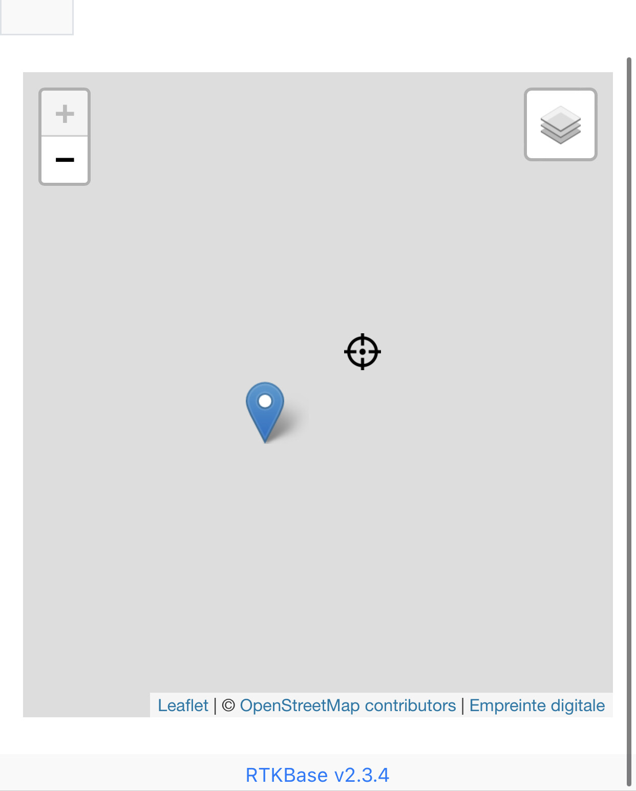
The fixed coordinates do not change, but the real time feed does as per below.
The black target is the fixed position whereas the blue tag shows the current (real time) reading. Which of these values does RTK actually use? Is it the case that the difference between these values is used to calculate any offset due to environmental / timing conditions?
@KentStuff, I did use a local NTRIP server (~15KM away) and got an almost instant 0.0250 (alleged) accurate fix within a few minutes. Will check out the latest AGIO.
I think your base is working correct.
The base sends out rtcm messages, and does no rtk.
The rover receives rtcm and does rtk calculations.
But as mentioned above, you can use rtcm messages from another base, to get faster location of your base station, but after you got that location and set base as static, then it does not need any info from another base.
1 Like
Yes, yes, yes. The real-time data is useless except that is how it knows what to send out as RTCM. Your moving base is not moving. What it sees from the satellite is moving. But your rover needs to know how much each satellite is wrong. That is why you send it the corrections.
Your local corrections giving you that accurate of a location is probably not that far off. You cannot correct the data coming in to your base station before it sends out the corrections to the rover. You can use the local ntrip to speed along the survey in process. Or just use it for the rover and forget about your base.
Real easy to test. Mark a spot in the field and check it a few times a day using the local ntrip and then not. Repeat with your base station supplying your ntrip.
1 Like
Right, gotcha!
As per usual I was needlessly over complicating things. Yet another school day.
Thanks guys, looks like it’s all working as designed.
Edit: actually at the risk of further needless over complication, is there any real practical value in PPP / RINEX, or is that just overkill?