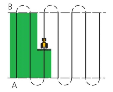
Hi, I’m new to AOG. I’m running AgOpenGPS-5.7.2, but how to create a plan like below simple line in the application?

I have GPS connected but no steer yet.
Thanks a lot.
You have to have a field open. Then 3rd ish from the top right is a button that has a straight line. Click it and follow the prompts.
Welcome.
Did you find the manual.
Click help in aog and you should find it.
Thanks! So I must manually control my steer and accelerator the first use.
And then, I record the path. So I can use the path directly to auto-steer the next time.
Am I right?
Yes, I can define the AB Line in two ways:
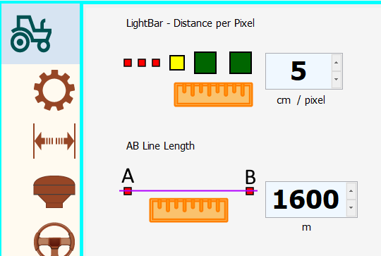
- by settings like below picture.

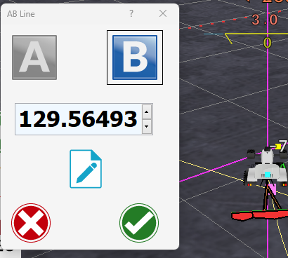
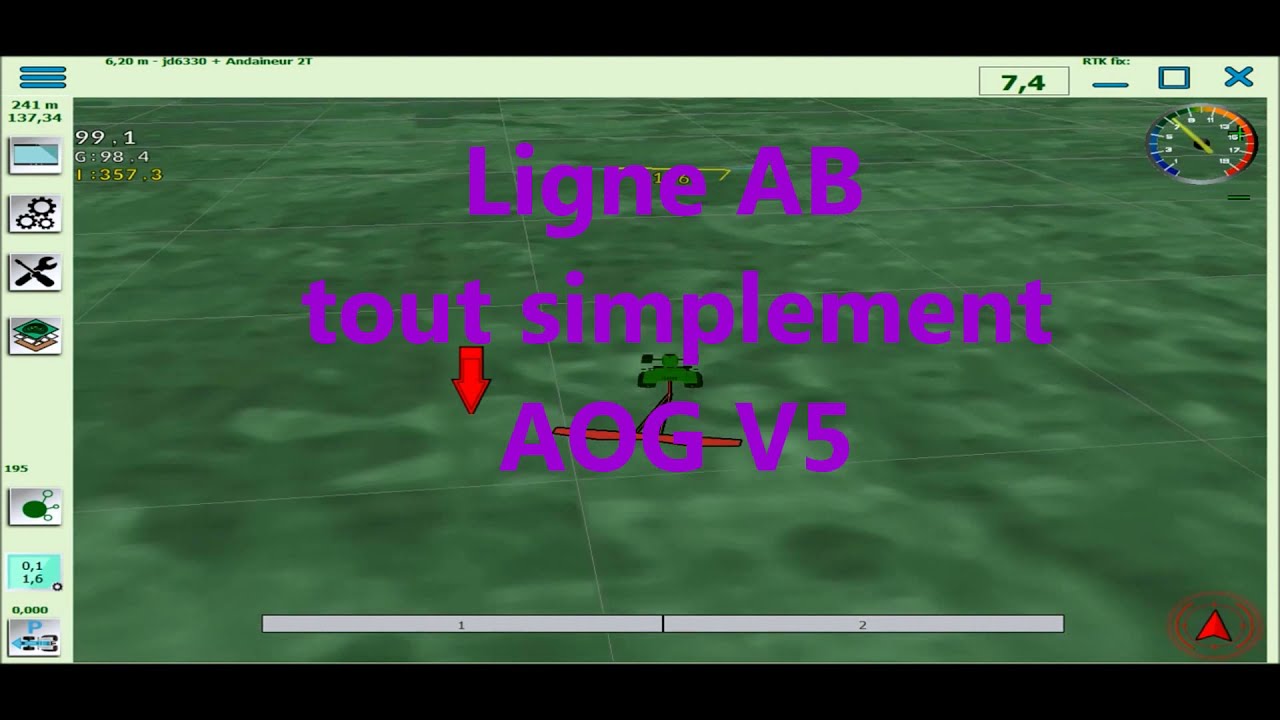
- by adding A&B points like the video

But are the two ways contradicting?
Another question is how to define how many AB Lines before start?
Thanks.
yes
pay attention for AB curve line need to be clean path
for AB lin only A nd B is so important
in 1 is just setting to use it for screen view and for auto define B point …
in 2 it is the menu to create the line by A point and B point or more interesting A point and Cap
Be aware, that you must open a field AND activate autosteer to be able to make drawing of covered area.
Some icons at right are not there before opening a field.
You must pres the autosteer icon, also when doing lightbar, to be able to make automatically drawing, else you can press the draw always icon.
The automatic drawing only work after you have made a boundary, AND you are inside that boundary. (To avoid spraying outside the boundary ,when you have connected sections on off)
It’s getting clearer to me.
Thanks the video https://youtu.be/qhP_gjeiweg
Thank you all.
