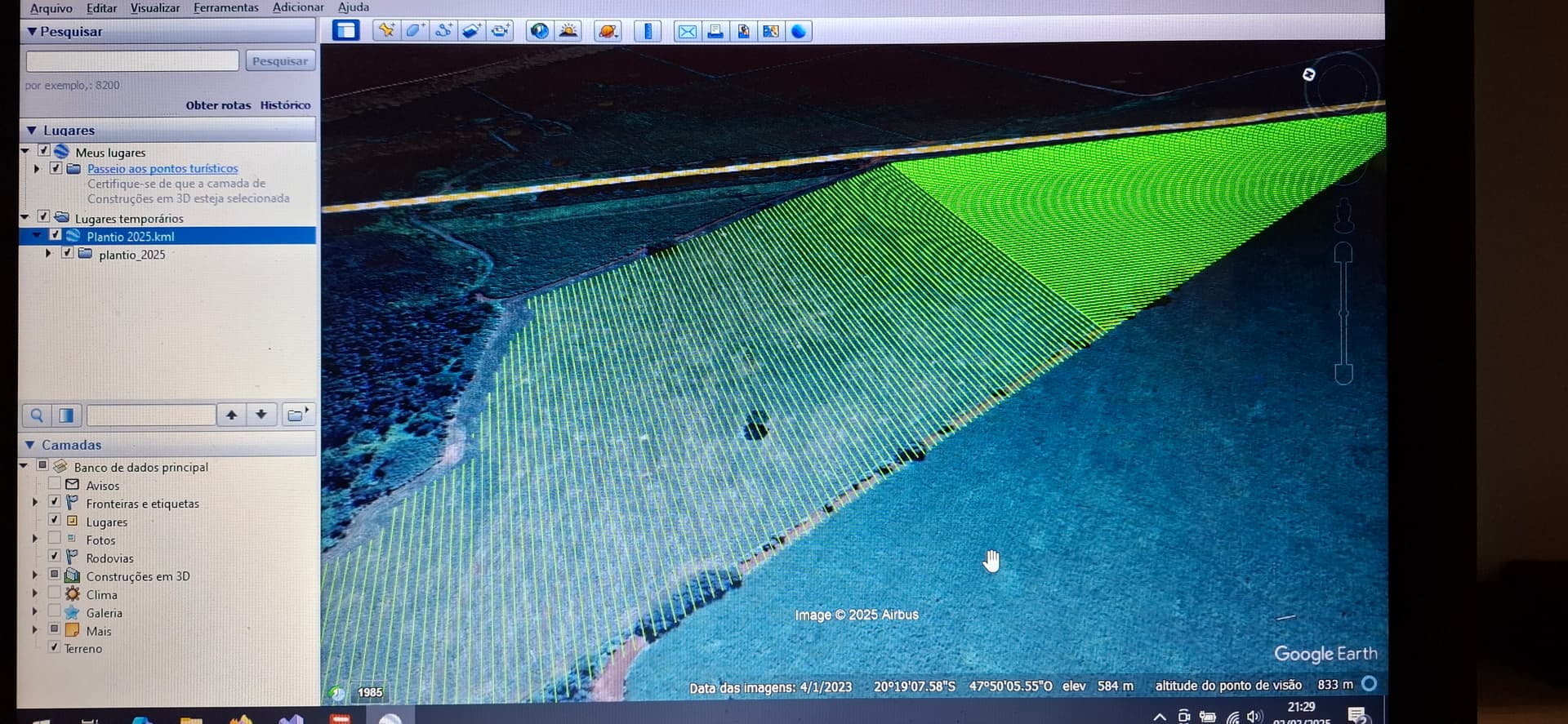
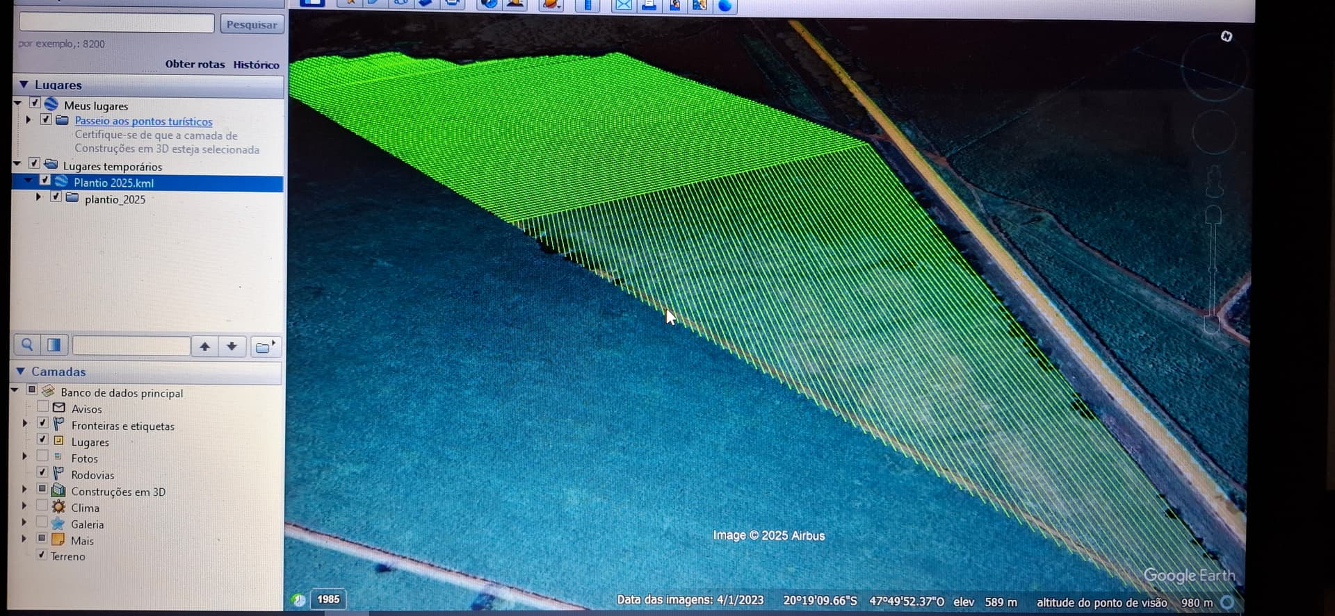
Good evening friends, I have seen some sugarcane planting projects in my region in which shapefiles are created with all the field lines. The question is, is it possible to use these projects with agopengps?
Likely, save one of the lines as a kml. Import it as an abline then set your tool width to match the spacing.
It may be possible to load all the lines, but in AOG it would be hard to run.