Thank you for the reference. I checked all remarks above.
I have come so far to see that the survey .SHP has a point geometry which somehow QGIS refuses to save as a linestring KML. The resulting KML is just a bunch of points. So probably have to do something with the shapefile.
Google earth will also import the shapefile. Then just save the boundary.
Well in GE it is also just a bunch of points ![]() Obviously the Reach shapefile is not meant for AOG and I’ll proceed by manually drawing a path in QGIS or GE as closely to the points as I can. Some work…
Obviously the Reach shapefile is not meant for AOG and I’ll proceed by manually drawing a path in QGIS or GE as closely to the points as I can. Some work…
Have you solved this problem? I also get just single points within this “Placemark” . I recorded points with rtk signal in QGis in a shapefile and exported it as kml. google earth can read it, AOG not.
No I did not bother anymore. QGIS can be powerful but for me it’s mostly very time-greedy if you try to do things that are simple but not common…
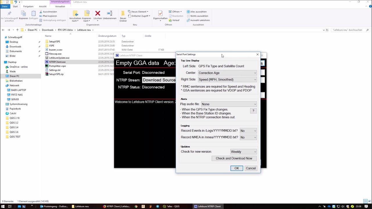
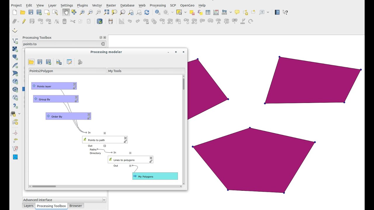
What I did: I use a port splitter and a Ntrip client to get corrected gps (rtk) signal in QGis. I put the antenna on a pole and then I recorded points of a boundary with QGis. So I got a point layer in QGis and I wasn’t able to import the exported kml in AOG. Because AOG needs a “polygon format” in kml, but I had just single points. It has to be made a polygon layer from the point layer in QGis. The kml export from polygon layer then was be loadable in AOG to generate a boundary.
Got help from:
Using port splitter and NTRIP with QGis:
Generating polygon from points:
(I have not checked the correctness of the boundary in AOG in real, yet.)
Yesterday, I controlled two sides of that boundary with tractor and AOG. It seems that they are on the right place:


