Dear AgOpenGPS Community,
I recently saw your system demonstrated at AgriTechnica. I noted that you can load bing maps imagery backgrounds to the screen on the tractor displaying your planned route. I think in the same way it should be possible to load data that are more relevant for agriculture, including NDVI composites, terrain models, soil moisture or similar. These datasets are available via S3, STAC, or directly as an OGC service (eg WMS) from [Copernicus Data Space Ecosystem], (https://dataspace.copernicus.eu/), eg we explain how to create an OGC service and embed in web GIS here: Integrating satellite imagery into web applications | Copernicus Data Space Ecosystem and here: https://www.youtube.com/watch?v=YrC1mTToNJE
On the other hand, if these existing tools are not sufficient for integration in your smart farming system, I would like to know what we can do in terms of data availability or better documentation to make it possible.
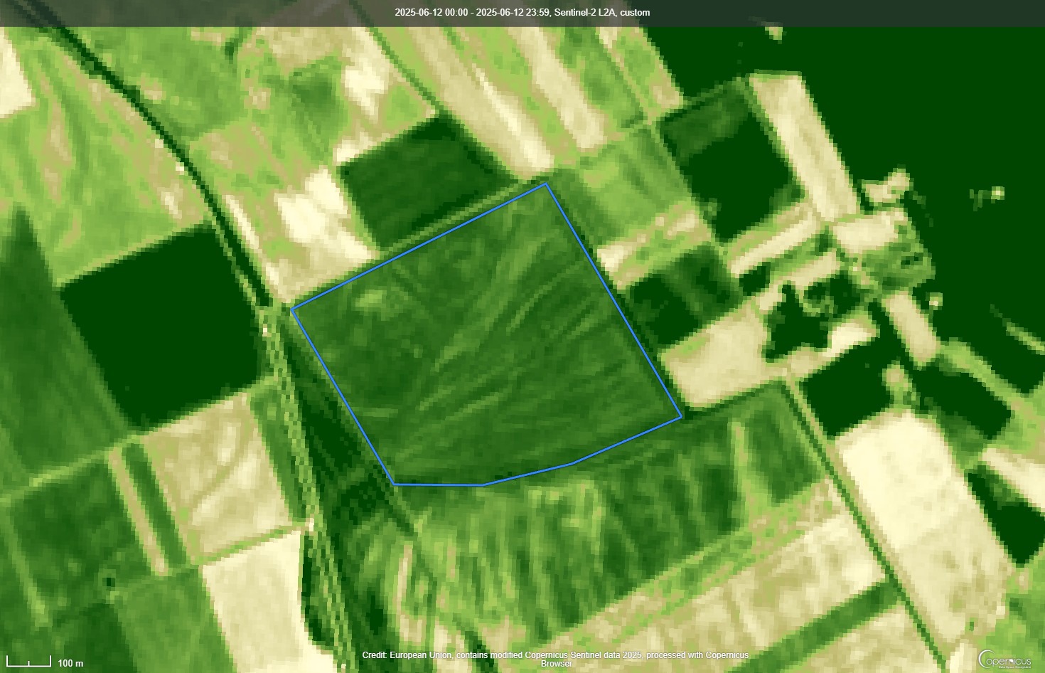
No, we have data with 10 m resolution typically, but 13 spectral bands and revisit every 3-5 days. But I think even at this resolution, the imagery can be informative - example is kernel NDVI for June 12 (single image) for a parcel near Dunaegyháza, Hungary (link.dataspace.copernicus.eu/kphv). By displaying it on the screen in the tractor, we enable the farmer to gain a better understanding of the satellite data since they can immediately compare the conditions on the image and in the field. Of course, additionally, precision farming products can also be generated in this open system.
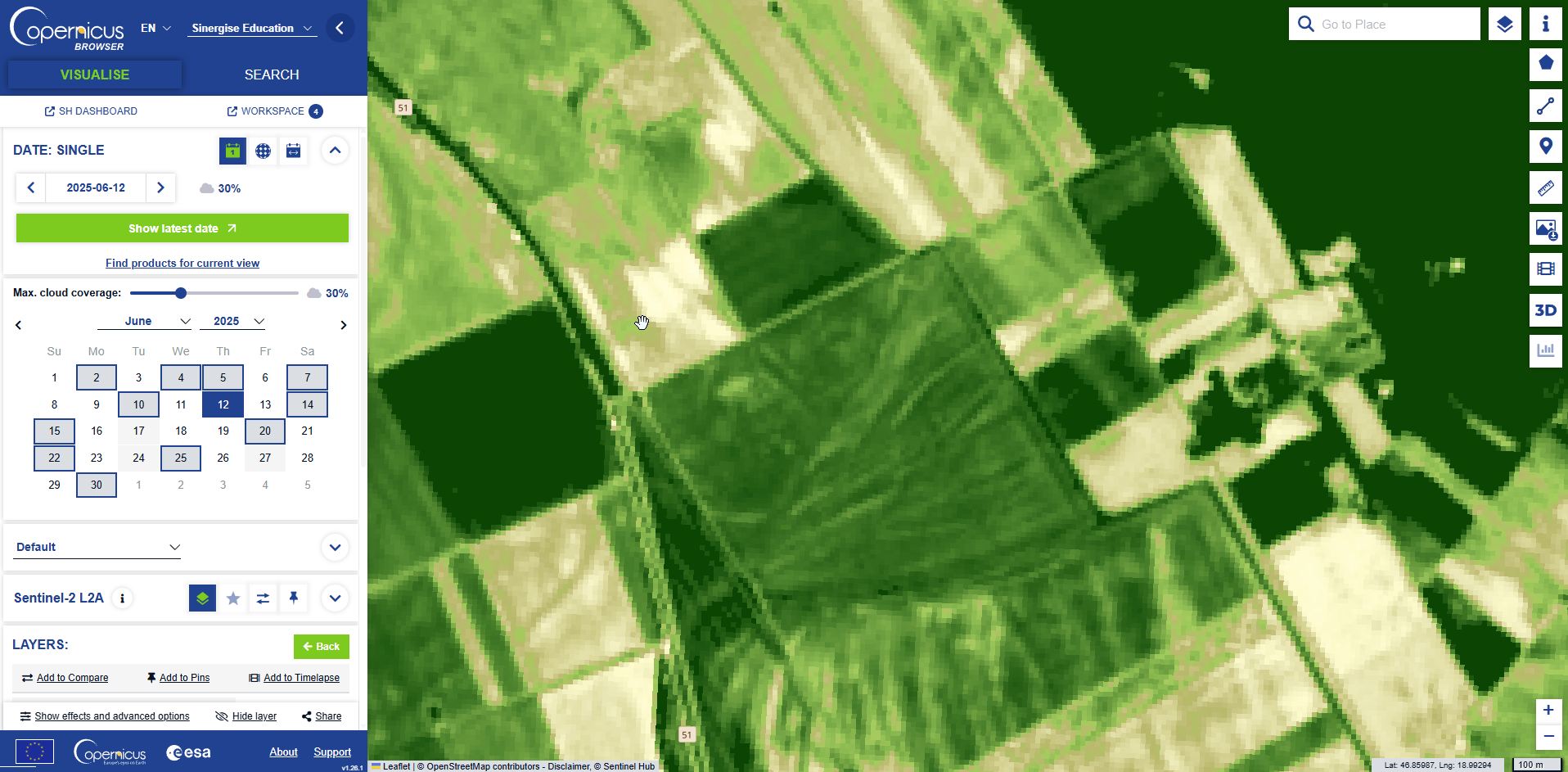
yes, the datasets are released with a latency of a few hours - eg the acquisition of today 10:00 is already online. Screenshot attached showing data collection frequency; images of more than 30% cloud cover are marked with a grey background.