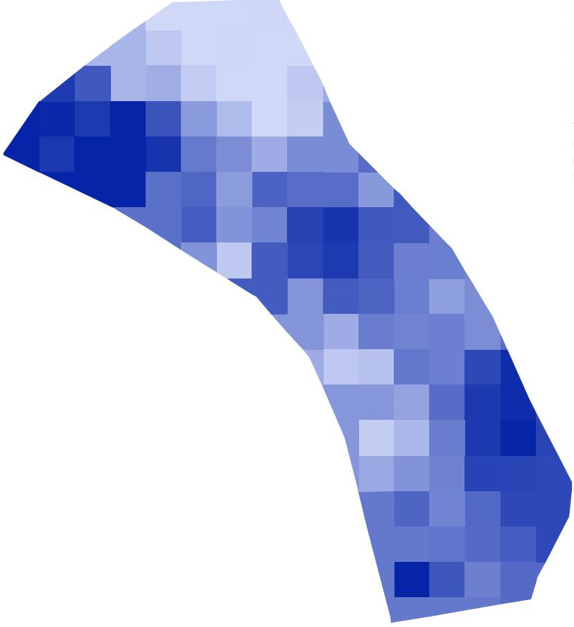
I have some satellite images from CropSAT and Yara’s AtFarm.
It would be nice to use them as a field background sometimes. Even without rate control.
Like this one:
I’ve seen videos of JPEG files used as bacground in older versions of AOG.
Is this still possibe? I can’t find a way…
I guess it could be done with drawing drive-thru boundaries in Google Earth, but a JPG would be quicker.