I am just wondering what software you guys have been doing to record data for elevation maps. I recall seeing it on here a while ago but I can’t seem to find it.
Anyone have an answer on how to view elevation map data. I have a text file with elevation data and cordinates from aog and would like to visualize it in color on a map. Is there a way to import into qgis?
Same question I had. Someone on telegram helped me. Go this route:
You have txt file, go to Qgis
Then layer → add layer → add delimited text layer
Find that txt file and x y z from list. Press add.
Right click properties → symbology → graduated → choose value z=height
Choose color ramp(turbo) and classes(50) click ok
1 Like
Thank You! that worked
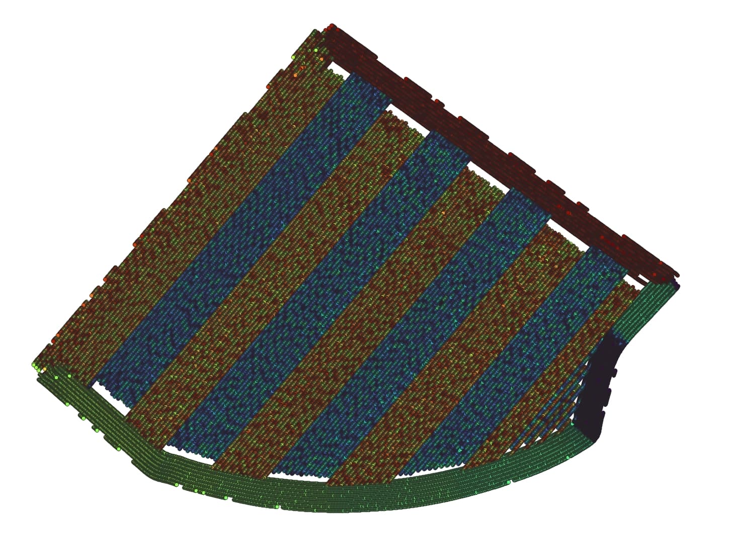
I’ve followed the directions above using the “contour.txt” file, but the heat map seems to follow direction of travel rather than a contour trend, any ideas what I might be doing wrong?
You need to use the Elevation.txt file.
My elevation.txt file has nothing other than a single line of coordinates, contour was the only one that has a set of multiple coordinates.
Do I need to enable anything to record elevation?
Edit: I just see the setting “Log Elevation” in AOG was not selected, that explains!
1 Like
Does anyone know if constantly logging elevation has any negative impacts?