Just started looking into it and I was wanting to delete some fields out of agshare. FAQ states go to “My Fields” and select the trash can next to the field wanting to delete. When I go there and select field no trash can is visible. Am I missing something?
Click on field, scroll down. Delete button
Edit: Oddly enough I have one field that I can’t find the delete button. It has no guidance lines either
On my phone I have to click the “Show Field Data” button, then there’s an option to delete field.
Thanks for the help. Did not realize you had to scroll under the map. I also had three I could not delete on computer, but could on my phone. Your help is greatly appreciated.
1 Like
AgShare is still heavily under development but it can be used in production. The delete button is under the map but I found out that if there aren’t any guidance lines you can’t scroll down. So I need to fix that part. Good one
Feature requests:
- Upload worked area so i can check it in the browser where we have been
- Edit map function in browser. Click and drag
- Autoupload / sync function when closing the field or closing the application
- Create new field from existing field (like in aog)
Maybe this is on the roadmap allready
2 Likes
Hi!
- Upload worked area is under development
- edit map in browser is not on the roadmap at the moment
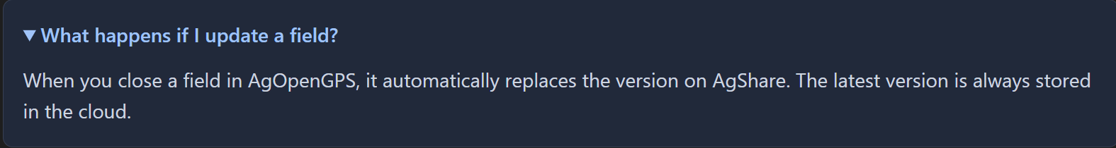
- Auto upload is already in AgOpenGPs when you close the field or close the application if a field is open
- create new field from existing is not on the roadmap at the moment
1 Like
-
How does it do this with no internet?
-
What happens if 2 or more users have it open or edited?
-
Can there be a ‘Master Copy’?
Quite a few operations have people that should/can run the techy equipment, and those who are best where the field they happen to be in automatically opens and picks their correct AB Line.
1 Like
I updated one of my AgOpen tablets to 6.8.1 a couple days ago to play with. I entered my API and said it connected but everything for Agshare was greyed out in the field menu. I was running in simulation mode, not sure if that had anything to do with it. I also noticed when I loaded different equipment profiles it seemed to lose my API and had to re-enter it
In agshare api screen make sure upload and activated are highlighted
2 Likes
That was it, thank you. I didn’t realize I had to tap on those to activate.
It will be possible to upload tram lines?
1 Like
Will AgShare be able to show 2 tractors coverage on one screen live?
2 Likes
I just tried shapefile export and import to JD ops center. It did not import upload correctly. I’ll attempt to investigate a bit, if that’s helpful. I believe there’s some info out there on shapefile composition, headers, syntax, etc. for Ops Center compatibility.
1 Like
Any plans to release the code for this so we can self host?
What is the advantage of using AgShare vs. OneDrive (or similar cloud folder)?
Currently I have all of my program files and data files in a folder in my OneDrive. It instantly updates data to all of the tractors. I don’t understand what AgShare does better?
Correct me if I’m wrong, but file corruption / conflicts. I believe only really relevant with multiple machines active at the same time.
Plus, if done right, much easier for the average Joe to share and possibly collaborate as some of the big dogs do that charge a pretty penny to do so.
I am actually hoping tractor settings can be backed up or saved similarly in Agshare eventually. I really like it for what it does so far.
I actually ran into the problem where my charging port stopped working on my screen in the middle of planting last year. I ended up buying multiple tablets but I had to be quick to transfer the data before the battery died. I don’t share the same files for every tablet but I found that Google Drive with the app installed in windows does a very good job at constantly pulling field data often while it is running. I also find it fantastic since I can pull files from other tablets very easily from one tablet to another since it is almost always synced.
The Issue only pops up when more than one tablet/machine are running at the same time, otherwise sync in awesome now matter which provider/set-up you use.
Machine settings seem the most finicky. Either way, a robust multi machine real time sync would be awesome. It’ll at least possibly trigger changes to how files are currently wrote/saved which would make sync work better for any program.
I FINALLY figured out how to get an AgOpen kml boundary into a suitable format for JD OpsCenter import. I’m not sure if all of these steps are required, but it’s what I did with the help of GPT and the AI assistant in OpsCenter that finally resulted in a working boundary that processed correctly:
- Import KML as vector layer in QGIS.
- Use QGIS to export as shapefile. Need this step to create a working shapefile to make further edits.
- Add metadata fields to the shapefile that match target Client/Field/Farm in OpsCenter. Details here:
Uploading a Third-Party Boundary Shapefile to Operations Center | John Deere Help Documentation - Simplify Polygon using Processing Toolbox->Vector->Simplify. Settings: Method: Douglas-Peuker, Tolerance: 0.00001 degrees. This might be the most critical step. It was the last thing I did before it finally worked. That setting seems pretty coarse, but I think OPS center hates polygons from AOG with a ton of points.
- Export the simplified shapefile. CRS=EPSG:4326 - WGS 84, Geometry type: Polygon
- Zip up only the .dbf, .shp, .shx, .prj
- Upload to OpsCenter
3 Likes