What is the function of the elevation log button and how do you access the data it collects?
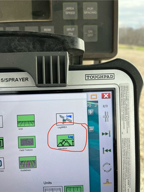
It records the position, elevation, and precision (rtk fix, etc), and logs it to Elevation.txt in the field directory.
How can you use this elevation log? Would like to be able to build elevation maps for drip irrigation designs
1 Like
Have you read this one?
What software to use for elevation mapping?
1 Like
Thank you!
Is there anything that explains which column is which?
Ignoring the headers, column 1 is clearly latitude, column 2 is longitude. Column 4 is the RTK status.
Is column 3 the elevation? What are columns 5 and 6?
The reason I ask is that none of the figures correspond to the elevations that I have previously collected using my survey GPS, which logs the elevation against the WGS84 ellipsoid.
I assume that columns 7 and 8 are standard deviations.
Thanks
Why would you ignore the headers?
Difference between what you found and the (real) altitude might be the difference between Geodetic altitude (WGS84 ) and orthometric height (sea level) . Depends on what your GPS is displaying. Antenna height is also involved. At least your difference should be the same for each position.
5 and 6 are the distances to the Startfix, just above the headers.
It was perhaps a poor choice of words, taken from the context of RINEX files where you have a lot of information in the header lines before you get to the main recorded data.
What I meant was, putting aside the first nine lines which don’t really seem to have anything relating to the recorded elevation data itself. These lines seem to just contain a date (which incidentally was not the date the data was recorded but over a year earlier - perhaps because I created this year’s field from the existing field?) and the start fix (there is also a reference to $Offsets which seem to be 0,0 and Convergence, also 0).
After the start fix coordinates (latitude and longitude), the file launches straight into the comma separated columns of data which I’ve assumed is the recorded elevation data, but I couldn’t find any information that confirmed what the columns actually represented
Thanks for the information on what columns 5 and 6 are for.
When I import it into QGIS, sounds like I can just focus on the first three columns (Latitude, Longitude and Height) and tentatively ignore the rest!
Qgis doesn’t need more than the fist 3 columns, doesn’t know what to do with the rest.